
LATE TONIGHT…
The National Weather Service in Greenville-Spartanburg has issued a
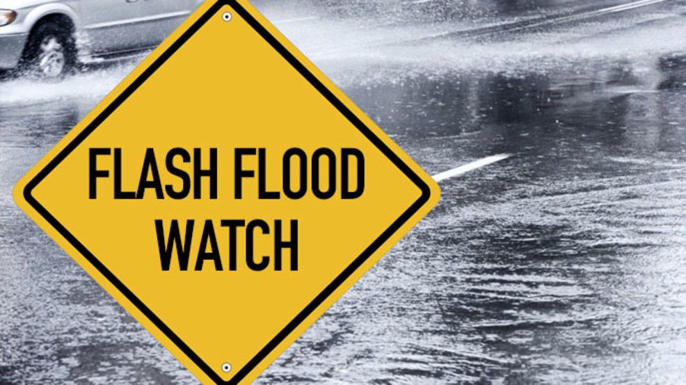
* Flash Flood Watch for portions of piedmont North Carolina and
western North Carolina, including the following areas, in piedmont
North Carolina, Alexander, Catawba, Davie, Iredell and Rowan. In
western North Carolina, Avery, Burke Mountains, Caldwell
Mountains, Eastern McDowell, Greater Burke, Greater Caldwell,
McDowell Mountains, Mitchell and Yancey.
* From 8 AM EDT this morning through late tonight
* Rain early this morning will raise stream flows and prime the
region for additional runoff if excessive rain was to develop
later in the day. Numerous to widespread showers and thunderstorms
are expected to bring a few rounds of heavy rain across the
northern mountains, northern foothills, and northwest Piedmont of
North Carolina today and this evening. The potential exists for 2
to 3 inches of rain, with locally higher amounts, across the Watch
area, which will increase the threat for flash flooding.
flooding based on current forecasts. Flash flooding is a very
dangerous situation and may impact areas that do not typically
flood. Please monitor the latest forecasts and be prepared to take
action quickly should Flash Flood Warnings be issued.
